Yosemite National Park and Mono Pass Photographs July 27, 2017
The Mono Pass trailhead is located within Yosemite National Park a few miles south of the Tioga Pass entrance. Pristine and wonderful. Unlike some other places.
There are now millions of climate change refugees worldwide, including thousands in the United States who have lost everything to floods, hurricanes or firestorms. Climate experts have indicated that such disasters are more likely than not to continue.
This is one in a series showing places around Yosemite National Park that have, so far, escaped catastrophic events. Consider them as baseline documentation before inevitable future changes. Photos were taken summer 2017 on hiking/photography expedition with naturalist Bob Hare.
Photo copyright 2017 David L. Witt
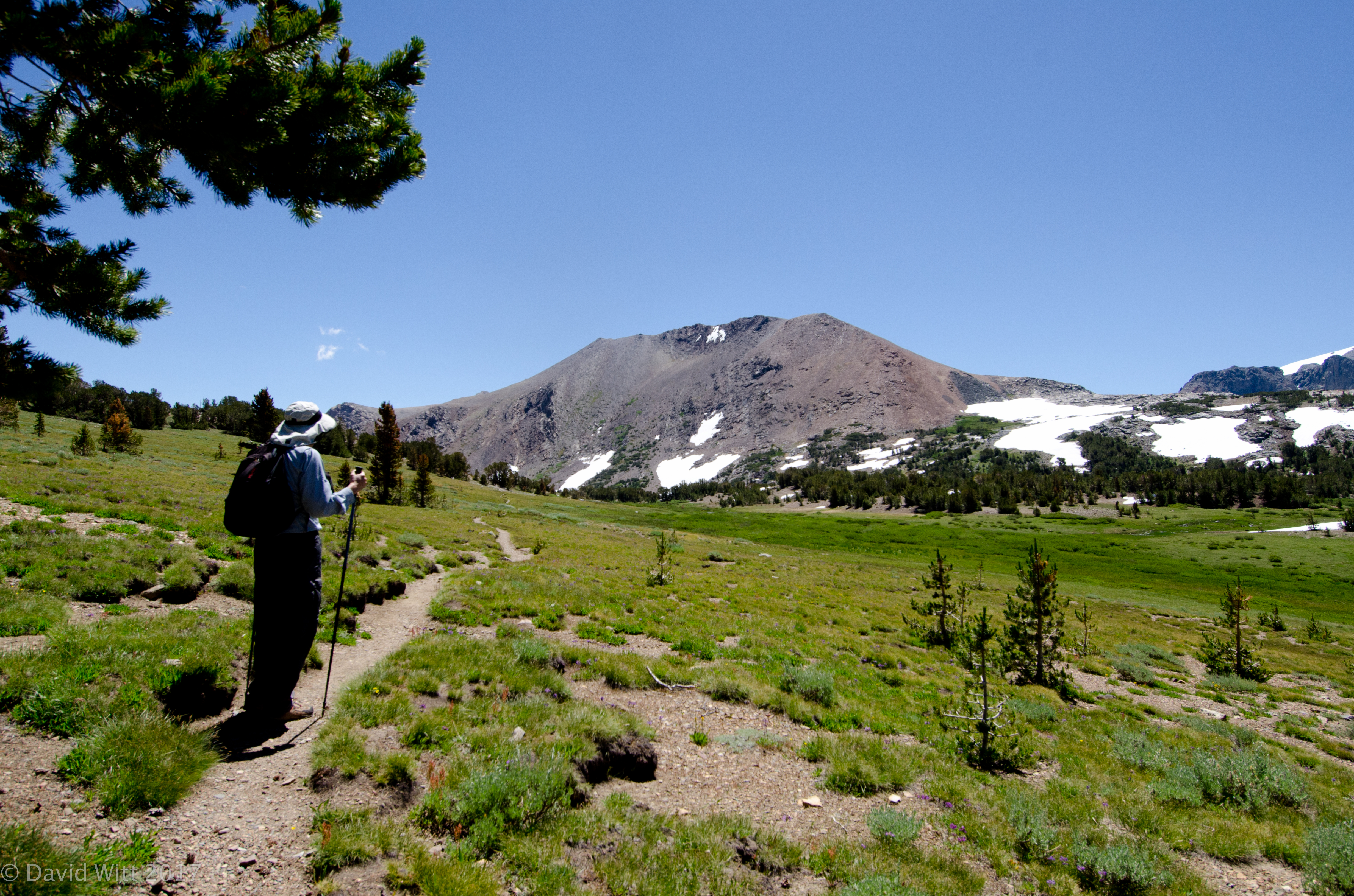
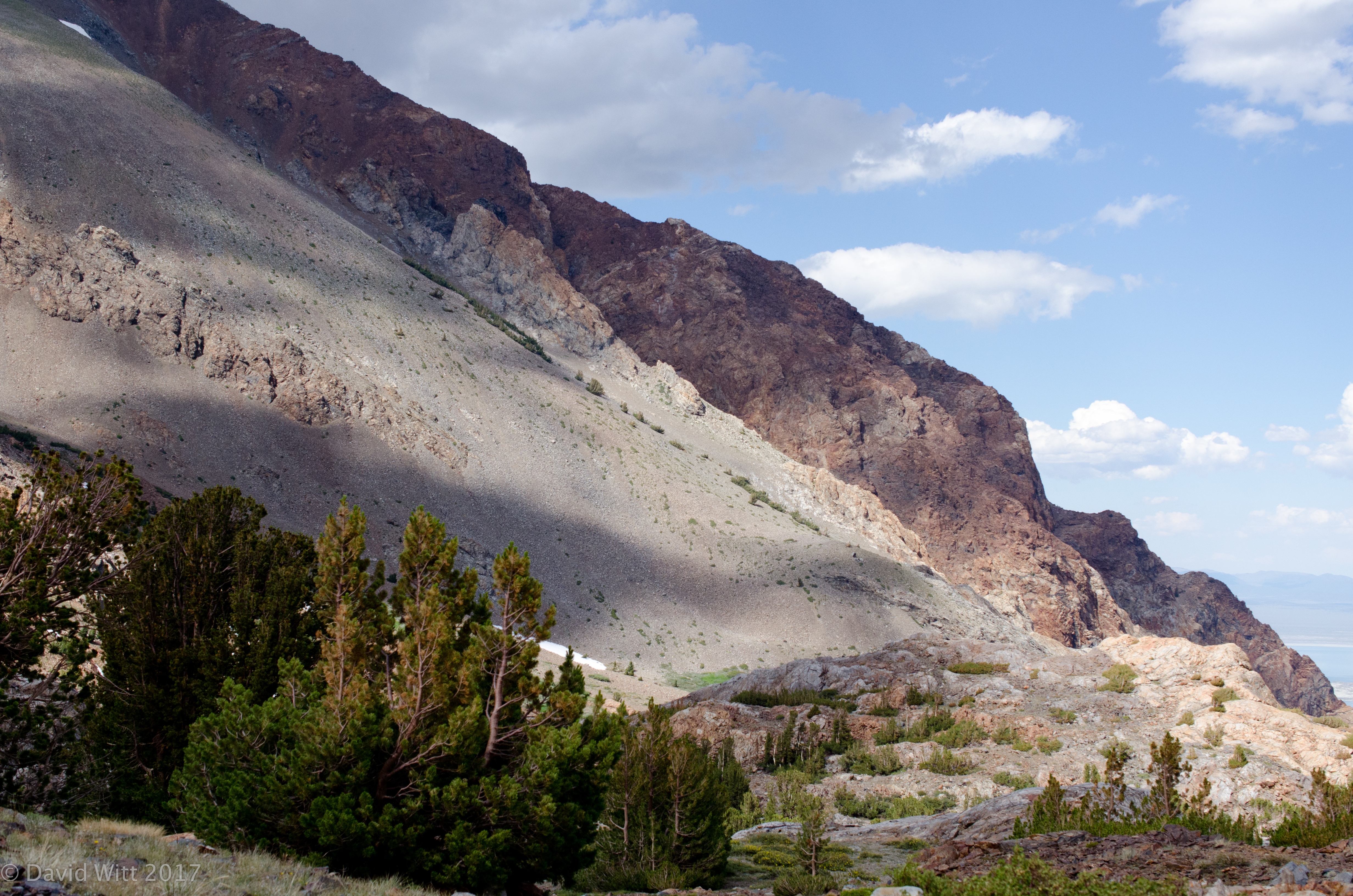
Heading southeast and up towards top of Mono Pass
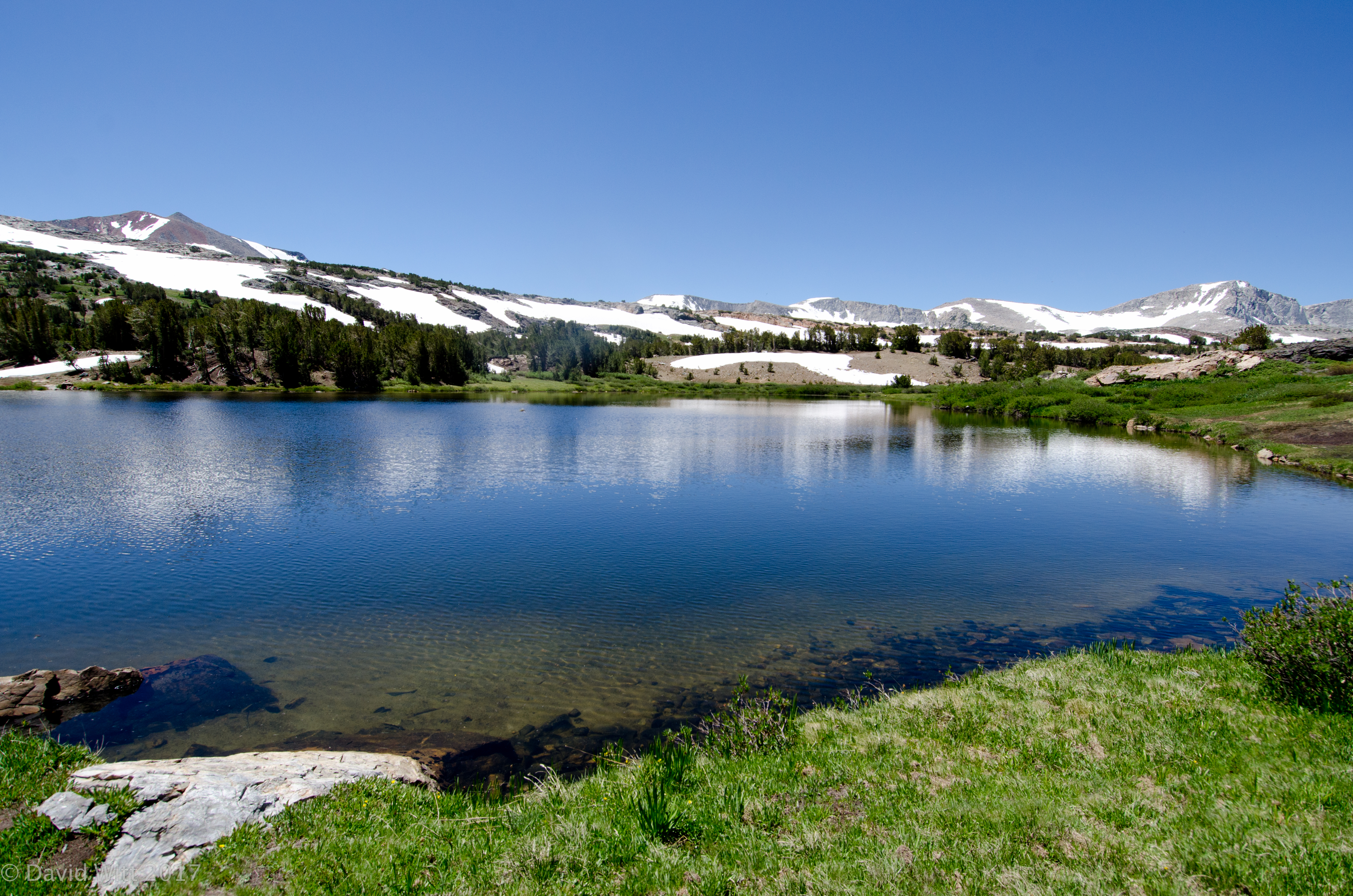
Lake at top of Mono Pass
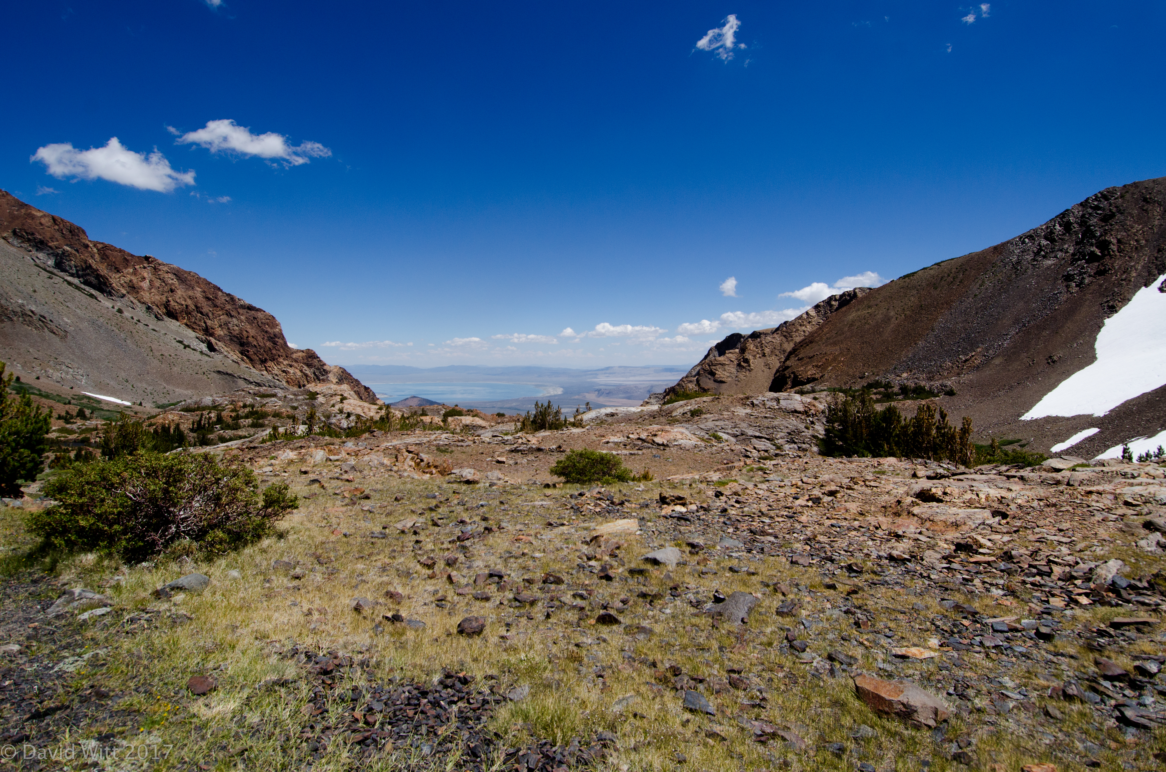
East South East and down from Mono Pass into Bloody Canyon
Mono Lake in the distance
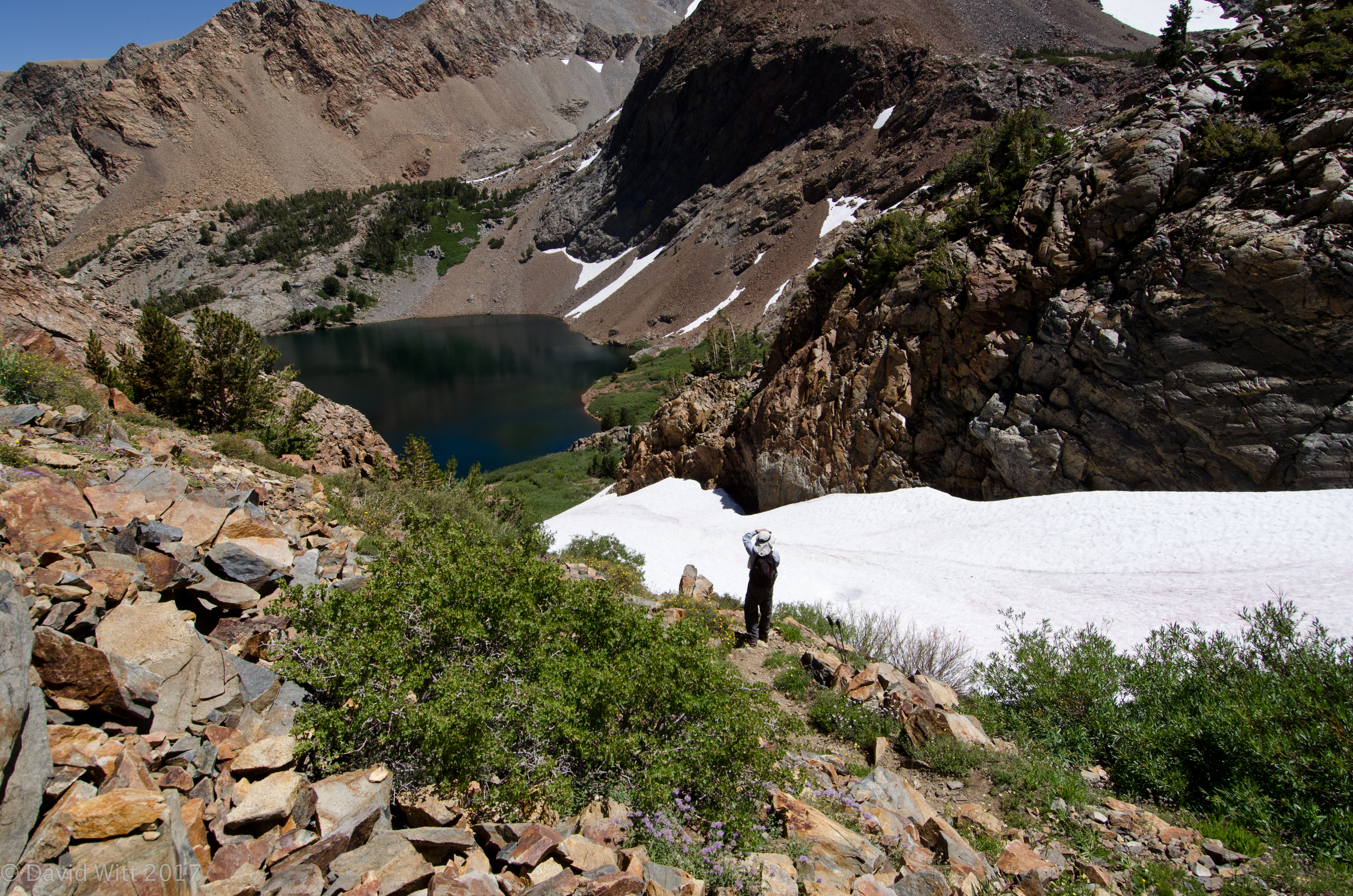
Looking up to Snow fields in Bloody Canyon–zig-zagged through the rocks to get around them

Lake in Bloody Canyon, named “Red Lake” by John Muir
Crimson Columbine/Aquilegia formosa and Potentilla species in Bloody Canyon

Globe Penstemon/Penstemon globosus in Bloody Canyon

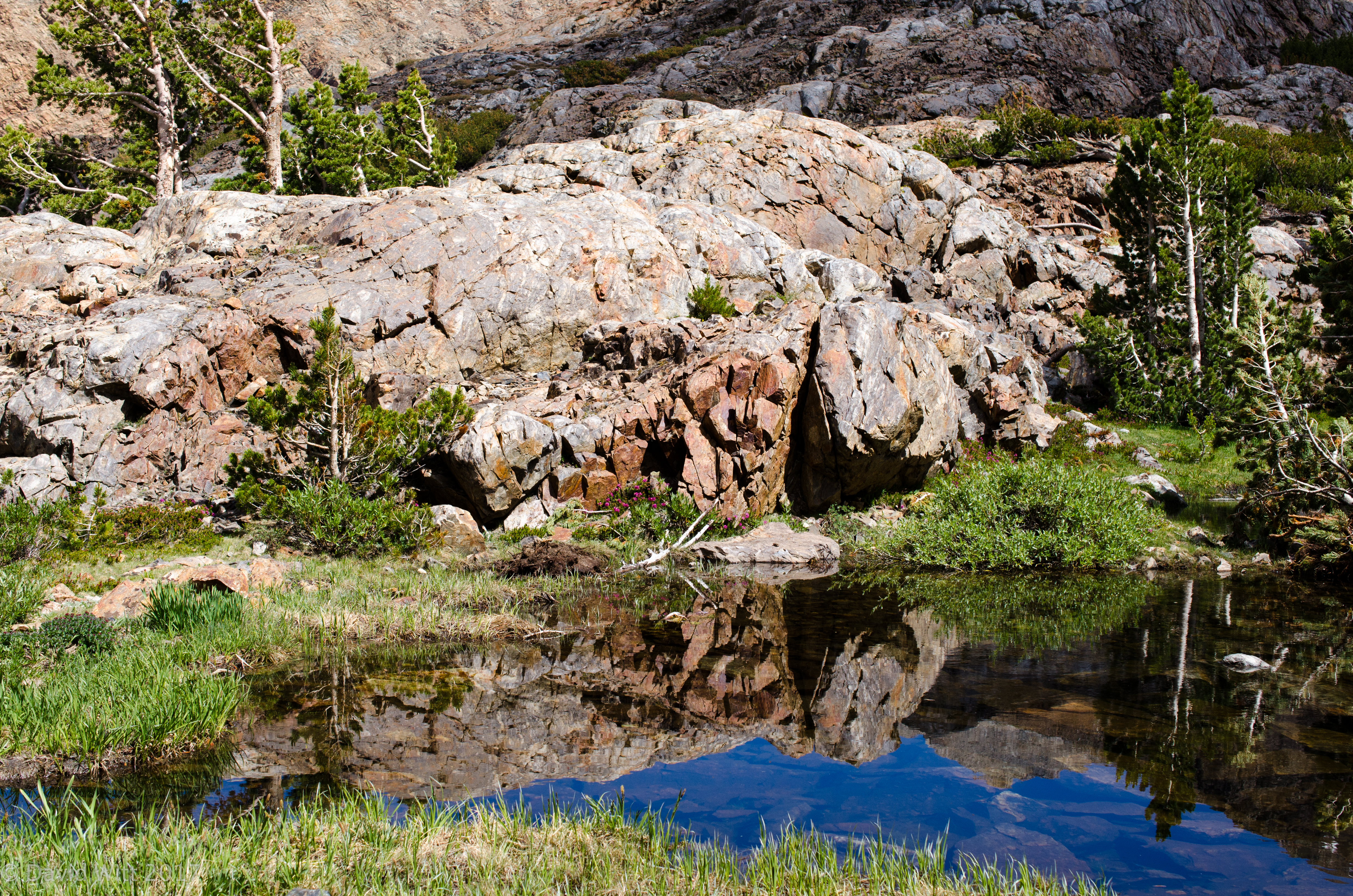
Glacial Tarn in Bloody Canyon
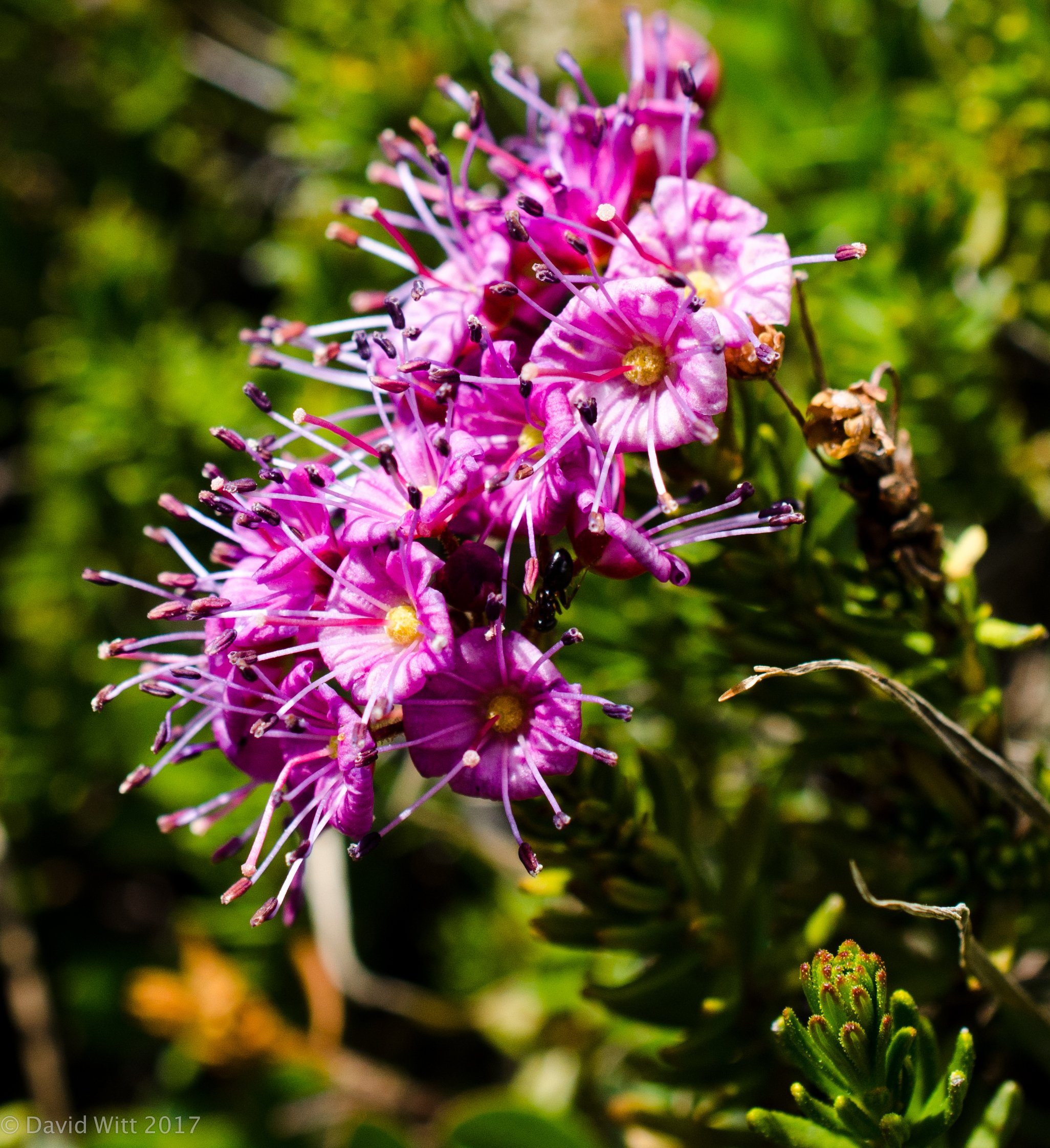
Mountain Heather/Phyllodoce breweri
View down to Mono Lake

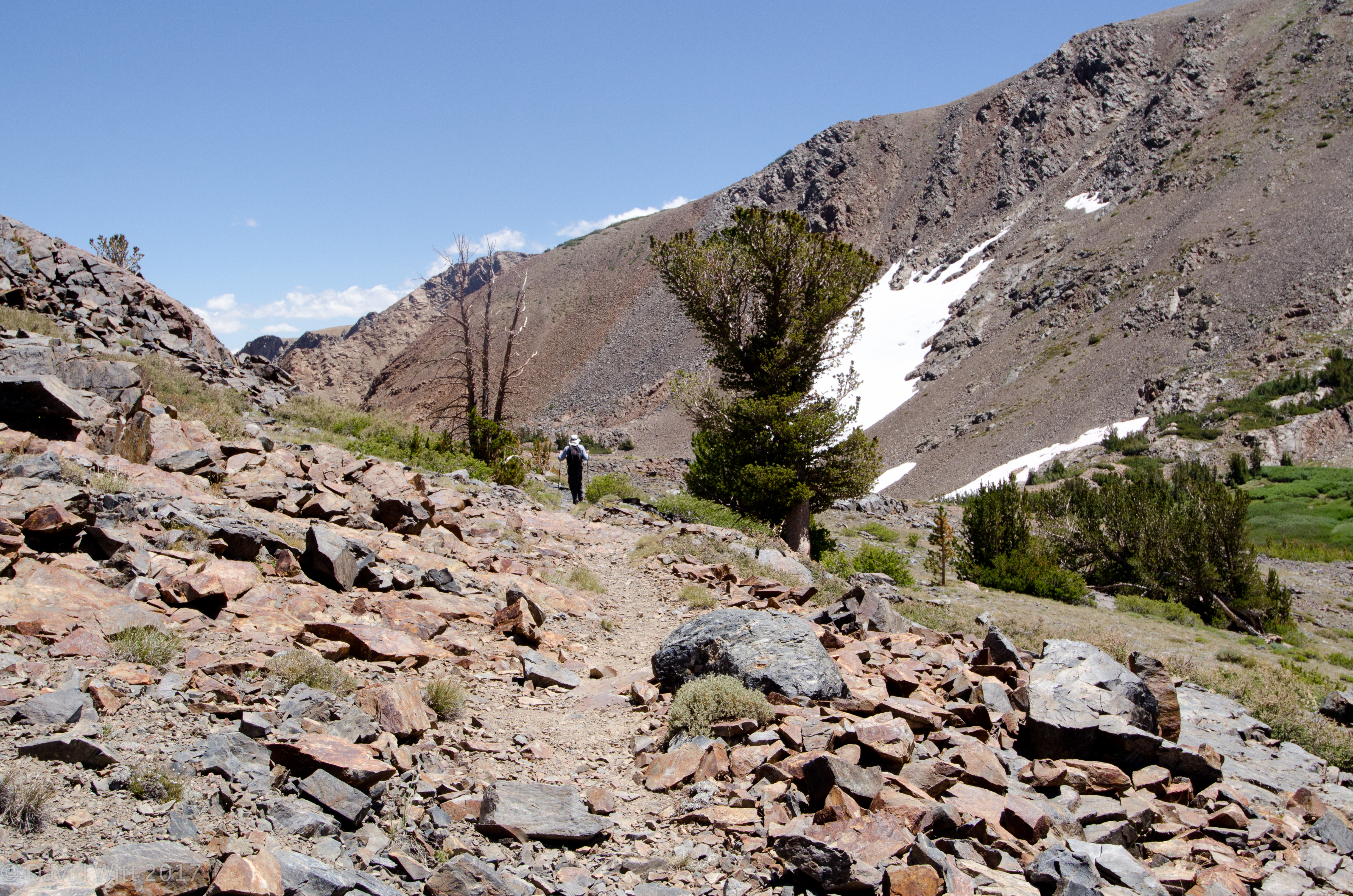
Upper Bloody Canyon
Upper Bloody Canyon

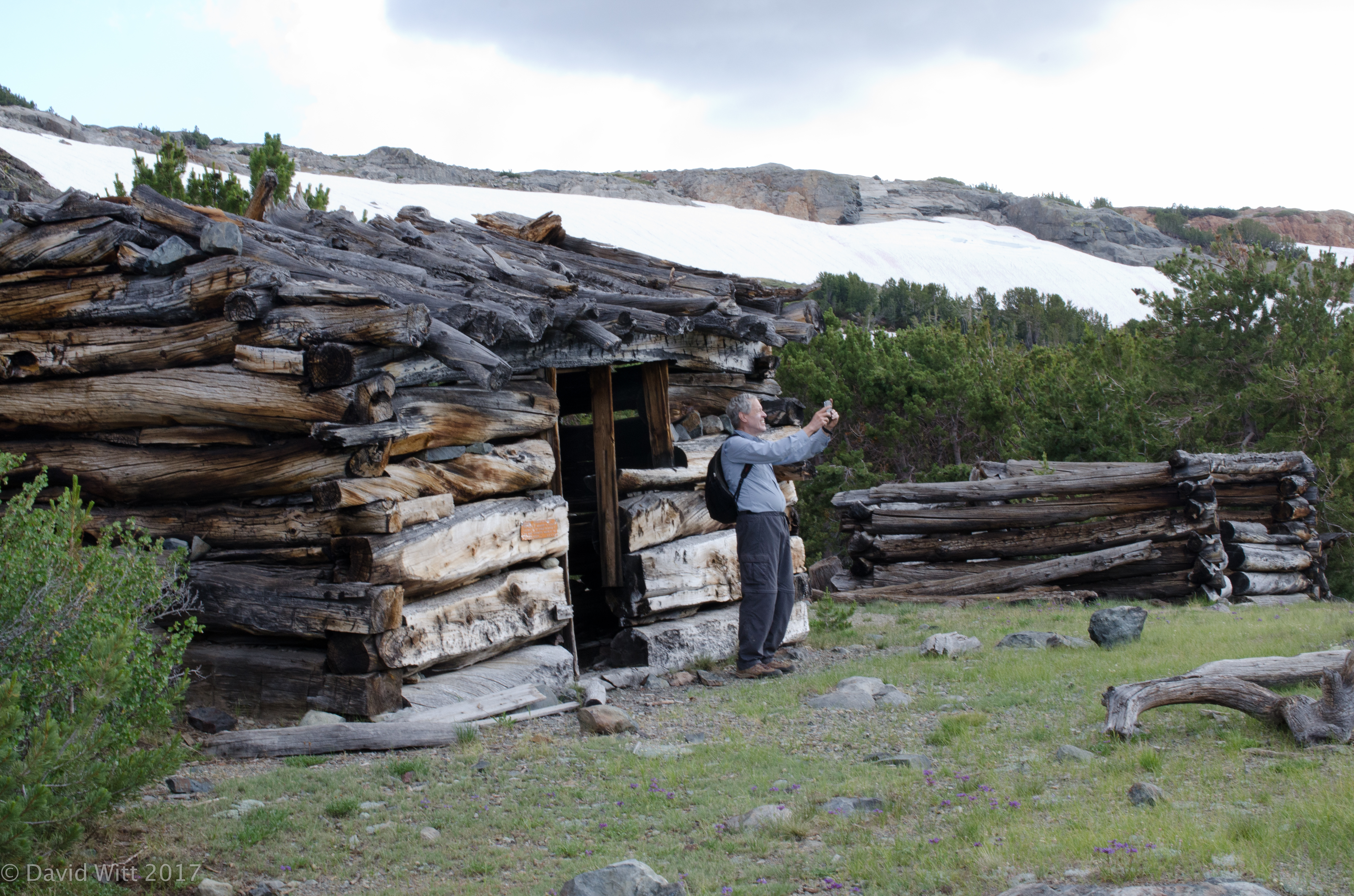
Bob documenting old cabins just west of Mono Pass